 |
This is a file from the Wikimedia Commons. Information from its description page there is shown below.
Commons is a freely licensed media file repository. You can help.
|
| Description |
Seven United Netherlands Janssonius 1658.jpg
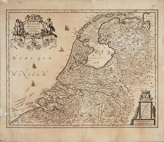
English: Map of the Republic of the Seven United Netherlands
Drawn by Joannes (or Johannes) Janssonius, part of his collection Belgii Foederati Nova Descriptio
Published in Amsterdam
|
| Date |
1658 |
| Source |
Archieven.nl Oude versie kwam van: Universiteit van Groningen |
| Author |
Jan Janssonius (1588–1664)   |
| Alternative names |
Jan Jansson, Jan Jansz, Jan Janszoon, Joannes Janssonius |
| Description |
Dutch cartographer
|
| Date of birth/death |
1588 |
1664 |
| Location of birth/death |
Arnhem |
Amsterdam |
| Work period |
from 1616 until 1664 |
| Work location |
Amsterdam |
| Authority control |
|
|
Permission
( Reusing this file) |
| Public domainPublic domainfalsefalse |
 |
This work is in the public domain in the United States, and those countries with a copyright term of life of the author plus 100 years or less. |
|
This file has been identified as being free of known restrictions under copyright law, including all related and neighboring rights.
|
|
File usage
The following pages on Schools Wikipedia link to this image (list may be incomplete):


