
File:Minnesota State Capitol.jpg
Size of this preview: 640 × 414 pixels.
| |
This is a file from the Wikimedia Commons. Information from its description page there is shown below.
Commons is a freely licensed media file repository. You can help. |
|
This is an image of a place or building that is listed on the National Register of Historic Places in the United States. Its reference number is 72000681. |
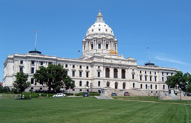
en:Minnesota State Capitol, photo taken on June 22, 2005 by User:Mulad. Hereby released into the public domain.
 |
This work has been released into the public domain by its author, Mulad. This applies worldwide. In some countries this may not be legally possible; if so: Mulad grants anyone the right to use this work for any purpose, without any conditions, unless such conditions are required by law.
|
| Annotations | This image is annotated: View the annotations at Commons |
|
Object location |
|
This and other images at their locations on: Google Maps - Google Earth - OpenStreetMap - Proximityrama | ( Info) |
|---|
File usage
The following pages on Schools Wikipedia link to this image (list may be incomplete):
Wikipedia for Schools...
Wikipedia for Schools brings Wikipedia into the classroom. SOS Children's Villages is there for the children in our care until they are ready for independence. We have helped children in Africa for many years - you can help too...