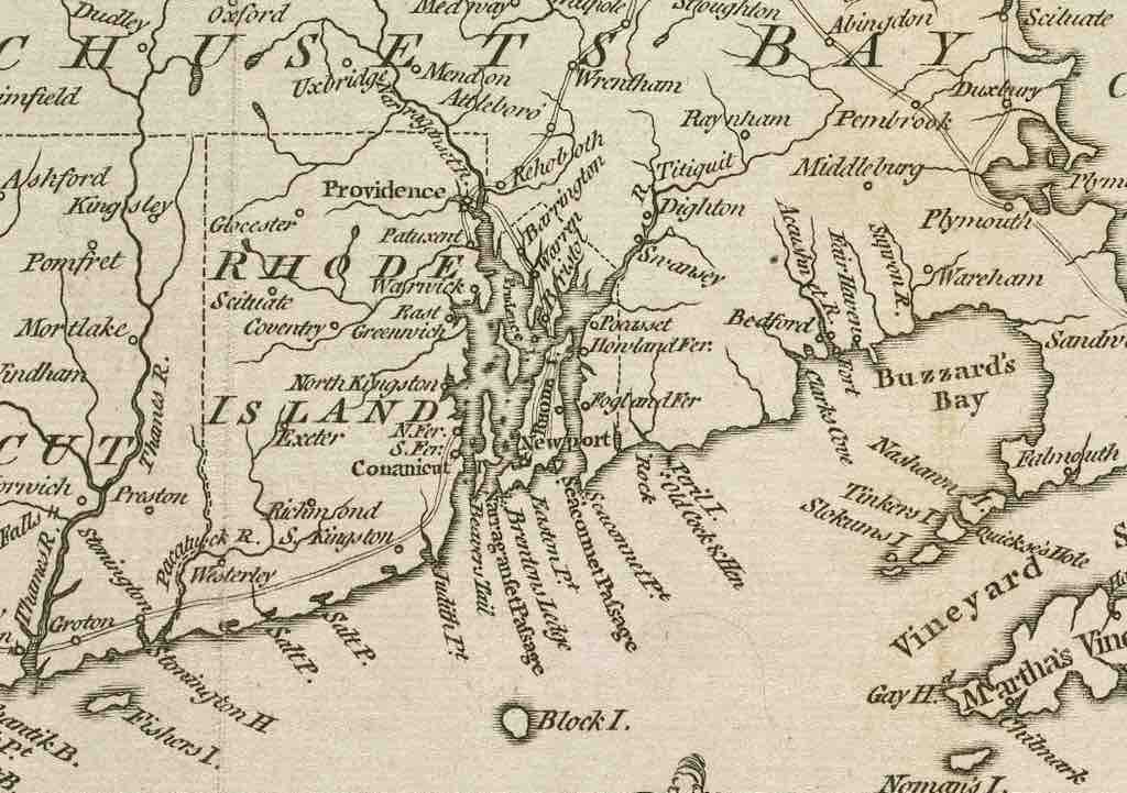
Map of Rhode Island
A map of the colony of Rhode Island, with the adjacent parts of Connecticut and Massachusetts Bay.
Source
Boundless vets and curates high-quality, openly licensed content from around the Internet. This particular resource used the following sources:
"1778 Rhode Island detail of map byKitchin BPL 14154."
http://commons.wikimedia.org/wiki/File:1778_Rhode_Island_detail_of_map_byKitchin_BPL_14154.png
Wikimedia
Public domain.